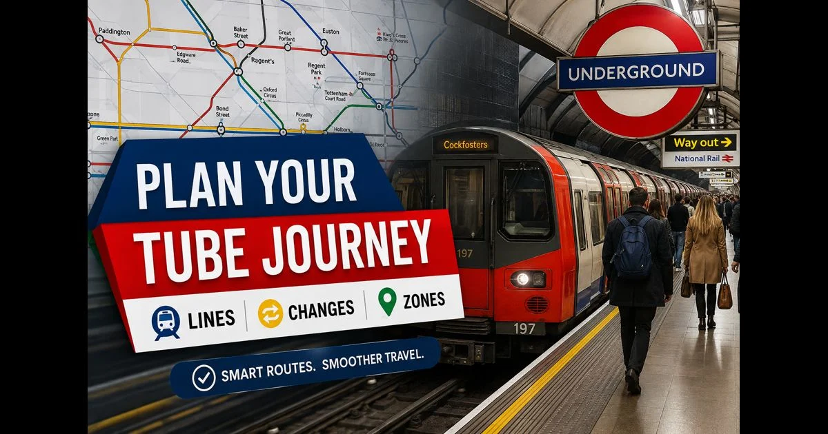
LondonTube Map: A Practical Guide to Planning Underground Journeys
London is easier to explore when you know how to plan a journey before reaching the platform. The Underground connects central London with neighbourhoods, railway terminals, airport links and major attractions, but a route that looks simple on a map can involve a branch, a long interchange or a service change.
A LondonTube map gives the essential network view: which lines serve each station, where you can change, and how a journey moves across fare zones. Using it well means looking beyond the nearest station and choosing a route that suits the time, the traveller and the conditions on the day.
Begin With Your Start and End Stations
Start by finding your departure station and destination on the map. Then trace the route between them, noting the coloured line or lines needed.
A direct journey is usually the simplest option, but it is not always the best. A route with one easy change can be more comfortable than a direct train that leaves you with a long walk at the end. In central London, a short walk between nearby stations can sometimes save time compared with an additional underground change.
When choosing a route, consider:
- The number of changes required
- The direction and final destination of the train
- The station where you will leave the network
- Walking distance after arrival
- Current service status
- Luggage, pushchairs or accessibility requirements
Planning with these details in mind helps prevent the common mistake of choosing a route only because it appears shortest on the diagram.
Follow the Right Line, Then the Right Branch
The colour on a LondonTube map identifies the line, but many lines have more than one destination. This matters most on routes with branches.
The District, Metropolitan and Northern lines are common examples. A train may be on the correct line but travel to a branch that does not serve your intended station. Before boarding, check the platform display and the destination shown on the train.
A reliable approach is to look at the stations after your destination on the map. If the train is continuing through the correct branch, it is usually the right service. If the destination display does not match the branch you need, wait for the next train.
This takes only a few seconds and can save a confusing change later.
Choose Interchanges Carefully
An interchange is a station where passengers can change from one line to another. The map marks these stations clearly, but it cannot show how easy each change feels in real conditions.
Some interchanges are quick, with platforms close together. Others involve escalators, stairs, long passageways or crowded corridors. At busy times, a large interchange can take longer than expected even when the train connection itself is frequent.
Stations such as Green Park, Oxford Circus, Victoria, Baker Street, King’s Cross St Pancras, Liverpool Street, Paddington, Waterloo and Westminster offer important connections. They can be very useful, but they should be chosen with care if you are carrying bags or travelling during rush hour.
When two routes are available, the one with fewer or easier changes is often the better choice. A slightly longer train journey can be less stressful than changing platforms several times.
Check the Direction Before You Enter
Tube platforms are generally identified by the destination of the train, not only by compass direction. Signs may show several key stations or the end of the line, helping passengers select the correct platform.
For example, if your destination is east of central London, look for the platform serving stations in that direction rather than relying only on the name of the line. The map helps you see which stations lie beyond your stop and what destination should appear on the platform display.
If you are unsure, use these checks before boarding:
- Confirm the line colour and name
- Read the final destination on the platform display
- Check the next stations shown inside the train
- Ask a station staff member if a branch is unclear
It is much easier to wait for the correct train than to correct a mistake after travelling several stops.
Use Zones as a Fare Guide
London’s fare zones spread outward from central London. Zone 1 covers the heart of the city, while the outer zones cover areas farther from the centre.
The map’s zone boundaries are useful because fares can depend on the zones used. However, the exact cost can also depend on the payment method, time of travel and route. Contactless payment and Oyster cards are widely used for pay-as-you-go travel.
Always touch in at the start and touch out at the end of the journey using the same card, phone or device. Using a bank card at one gate and a mobile wallet at the other can cause the system to treat them as separate payment methods.
Before a longer journey, especially one involving an airport or outer-London station, check the current fare and route details. This is more reliable than estimating the cost from zones alone.
Think Beyond the Underground
A LondonTube map often shows more than Underground lines. Connections to the Elizabeth line, London Overground, Docklands Light Railway, National Rail and other services may offer a quicker or more convenient route.
For instance, a journey across London may be faster with an Elizabeth line connection than with multiple Tube changes. The DLR can be particularly useful for travel to Canary Wharf, Greenwich and parts of east London. London Overground services can also provide practical orbital connections that avoid central London.
The best route is not always the one that stays entirely on the Tube. The map is most useful when you treat London’s transport network as connected rather than separate systems.
Allow Time for Large Stations
Major stations can be busy and physically large. A map can show an interchange in a single symbol, but it cannot show the full distance between ticket gates, escalators, corridors and platforms.
Allow extra time at large stations when:
- Changing between several lines
- Travelling at weekday peak times
- Carrying suitcases or travelling with children
- Using a step-free route
- Catching a mainline train or airport service
- Travelling during planned engineering work
King’s Cross St Pancras, Bank and Monument, Victoria, Paddington, Waterloo and Liverpool Street are all stations where a connection may take longer than a first-time visitor expects.
Arriving a few minutes earlier can make a journey noticeably easier.
Check Live Information Before Leaving
The Tube map shows the network layout, but it does not show temporary changes. Weekend engineering work, signal problems, station closures, lift faults and crowding can affect the best route.
Check live service status shortly before travelling, particularly for early-morning, late-evening or weekend journeys. If a line is disrupted, use the map to identify nearby alternatives rather than waiting without a plan.
A disruption does not always mean the whole journey is impossible. Another line, a rail connection, a short bus trip or a walk between stations may provide a sensible alternative.
Live information is especially important if your journey involves a connection to an airport, theatre booking, rail departure or appointment.
Plan for Step-Free Travel When Needed
Accessibility information deserves separate attention. A station marked as step-free may provide access from street to platform, but not necessarily level access between the platform and train. Some interchanges are step-free only between certain lines or in a particular direction.
Before travelling, check:
- Whether the starting station is step-free
- Whether the destination station is step-free
- Whether the planned interchange is accessible
- Whether lifts are working
- Whether staff assistance or a boarding ramp may be needed
Do not assume that a route with fewer changes is automatically the most accessible route. A slightly longer route can be much better if it avoids stairs or difficult platform changes.
Use Walking Where It Makes Sense
The Tube is useful, but not every short central-London journey needs a train. Some stations are close enough for a comfortable walk, especially if changing lines would involve a long underground route.
Walking may be a good choice when two stations are nearby, the weather is suitable and you have time to see the area. It can also be useful during delays or after leaving a busy interchange.
Use a street map or walking route planner to judge the actual distance. The Tube map is schematic, so it should not be used as a guide to walking time on its own.
A Simple Journey-Planning Routine
A practical London Underground journey can be planned in a few steps:
- Find the departure and arrival stations.
- Identify the line or lines that connect them.
- Choose an interchange with a manageable change.
- Check the destination shown for the train and branch.
- Review the fare zones and payment method.
- Check current service status.
- Confirm accessibility details or walking distance where relevant.
This routine works for short central journeys as well as longer trips across London.
Travel With a Clearer Plan
A LondonTube map is not only for finding a station. It is a way to compare routes, anticipate changes and make better decisions before travelling. Once you understand line colours, branches, interchanges and zones, the network becomes much less intimidating.
Use the map to see the structure of the journey, then confirm the live details before setting off. That small amount of preparation can make travelling through London smoother, quicker and far more comfortable.
